2014 Cycling Holiday Plans


Last September I had the opportunity to do some bicycle touring around various Rail Trails in Victoria (Australia). One of the biggest bug-bears of that holiday was the swooping of countless magpies, which is s common occurance for cyclists between August and October in many places in Australia. So this year I decided that my cycling holiday would be about as far from September as it can be – March / April! So in just under a week, it’s time for another cycling holiday.

This one will be quite different to the last one, in which I stayed a different town each night. The plan for the March holiday is to stay at my parents house for most of the holiday (they currently have a spare bedroom) and do a number of day trips along various cycling paths – some will be rail trails, and others urban shared paths. Here is the plan:

  • Sunday 2nd: Travelling from home to Cathkin, where I will ride the Cathkin – Alexandra rail trail (the only part of the Goulburn Valley Rail Trail I didn’t ride last September), then travel to my parents house on the outskirts of the Melbourne ‘burbs.
  • Monday 3rd: Ride the Warby Rail Trail between Lilydale and Warburton.
  • Tuesday 4th: Ride various bike trails starting at Belgrave, and finishing at Melbourne CBD. Then probably get the train back to my parents house.
  • Wednesday 5th: Travel by Car to Foster in southern Victoria, via Wonthaggi. Ride the Wonthaggi – Woolamai / Anderson Rail Trail near Phillip Island.
  • Thursday 6th: Ride as much as I can of the Great Southern Rail Trail (Leongatha – Yarram).
  • Friday 7th: Travel by car from Foster to Mirboo North and ride the Mirboo North Rail Trail. Then continue by car to my parents house.
  • Sabbath 8th: Day of rest!
  • Sunday 9th: Travel by train into Melbourne CBD, then ride to Frankston on various cycling trails. Then by train back to parents house.
  • Monday 10th: Travel to Ballarat (or somewhere near there) by car, and ride as much as possible of the Ballarat – Skipton rail trail. Alternatively, travel by train to Geelong and ride the Geelong – Queenscliff Rail Trail.
  • Tuesday 11th: Attempt to ride up Mt Donna Buang (near Warburton, 1000 metre elevation gain), or maybe Mt Dandenong (around 600 metres elevation gain).
  • Wednesday 12th: Ride from parents house to Gembrook and catch Puffing Billy back to Belgrave (or ride back if train trip not possible).
  • Thursday 13th: Travel by car back home.

A number of the rides above are longer than 60km in length, the longest possible one will be about 100km (the Ballarat – Skipton rail trail). And even some of the rail trails will have some fairly relentless elevation gains. So it will prove interesting to see how I manage with the various rides, especially the longer ones.

Of course this is only a vague plan of the things I would like do over my holiday. It will most probably change. The weather may yet be the biggest influence for change of the above itinerary, followed closely by my level of fatigue as the holiday progresses!

Cycling Holiday Day 1 – GVRT Tallarook – Yea


I woke up this morning to the sound of rain, and by the time we were passing through Albury / Wodonga the rain had that menacing ‘raining all day’ look about it. But the further south we got, the better the weather got and by the time we arrived at Tallarook the day was warm, and sunny, with a little cloud. Perfect weather for cycling!

As I removed the bike from the bike rack on the back of the car, there was a magpie stuka that was swooping Rebecca and the kids, but it seemed to be content to leave me alone, so while I got the bike set up to start my trek, the rest of the family retreated to the car.

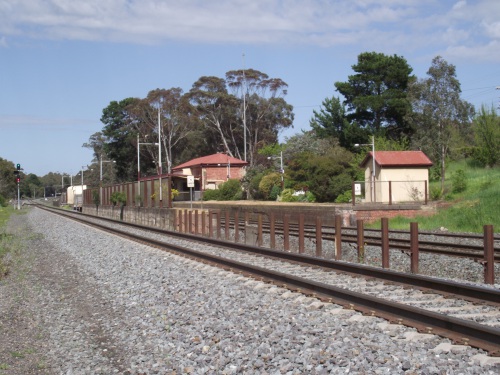
Tallarook railway Station

Tallarook railway Station

I had never been to Tallarook, or travelled on the road from there to Trawool, before today so that was a new experience. Tallarook was once the junction for the Mansfield and Alexandra railway lines. Parts of the rail trail are adjacent to the Goulburn River and the grades, being old railway formations tended to be up to about 4% (1:25).

Rail trail next to Goulburn river

Rail trail next to Goulburn river

Then at the end of Goulburn River Road, the trail follows the Goulburn Valley Highway towards Yea. There were a number of old railway station / siding locations, which basically showed very little evidence of being an important railway formation, and often the signage was the only real proof that a railway facility (apart from the track) was even there, as at Trawool.

Trawool

Trawool Station remains (I think)

At Granite, where there was once a station but today the overwhelming feature is the Trawool Valley Resort (I think that is the name of it).

Trawool Resort, Granite.

Trawool Resort, Granite.

A few kilomtres further on was Kerriesdale. At this point in the journey I decided to visit the Kerriesdale Mountain Railway (KMR), a privately owned and operated tourist railway that has a maximum grade of 1:12 (around 8%). The grades reminded me of photos I had seen of the Cass Railway in West Virgina, but the surrounds had a lot less trees.

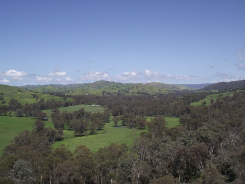
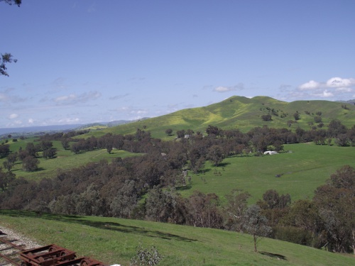
The views from the Summit and along the journey to the Summit were amazing. The location on the railway called Strath View Siding offered views to the east towards the Australia Alps, and from the Summit the view was nearly 360 degrees with magnificent views into the valleys and mountains beyond! If you are ever in the Trawool area, I would say the the KMR is a ‘must visit’ location. And I am not just saying that because I like trains!

GVRT from KMR train ride

GVRT from KMR train ride

Views from KMR at Strath View Siding

Views from KMR between Strath View Siding and Summit

Views from KMR at Strath View Siding

Views from KMR between Strath View Siding and Summit

After riding the train to the summit and back we arrived back at the Bottom Points station, where I had some lunch. Then I gingerly descended to the rail trail (the road to / from the Kerriesdale Mountain railway was so steep I had to walk the bike up the last section on the way to get to the KMR), and had to navigate through the scrub for a little way to get back on the rail trail – not ideal when riding a portable bike. And then I continued towards Yea.

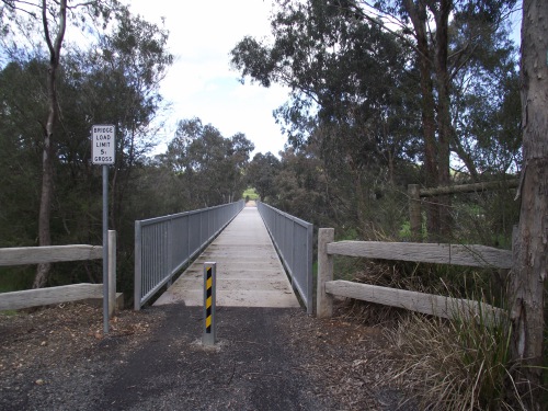
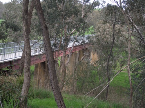
Not long after I got back on the rail trail at Kerriesdale, I passed over the King Parrot Creek Bridge. This is a fairly high bridge – I am thinking it is probably the second highest on the whole trail, the one over Lake Eildon being higher – but there may be others that I am not aware of. I wasn’t aware of their being a rather long tunnel on the rail trail either until I read about it a week or so ago, so there may be other high bridges I am not aware of too. Also in the area near the King Parraot Creek bridge, there are some old growth River Red Gum forests, which apparently have some trees up to 600 years old.

King Parrot Creek bridge

King Parrot Creek bridge

King Parrot Creek bridge

King Parrot Creek bridge

At Homewood, there was very little evidence of the railway station that once existed. But I did find this:

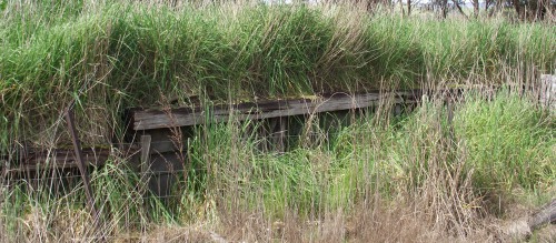
Homewood station, maybe?

Homewood station, maybe?

There were a number of long-ish grades on the section between Kerriesdale and Yea, but apart from a swooping magpie actually attacking my helmet (a first since I painted it black and added heaps of cable ties) the whole journey from Tallarook to Yea was without any major incident.

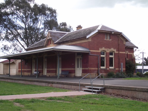
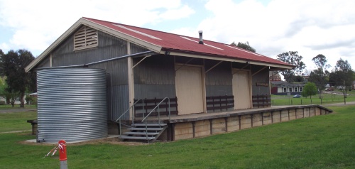
Upon arrival at Yea I had a look around the well preserved railway station and good shed, and then headed off to the motel where I was booked to spend the night.

Yea station

Yea station

Yea Goods Shed

Yea Goods Shed

Over all a very enjoyable and interesting ride.

For GPS tracking for this ride, go to :